Hyderabad, May 17 (Maxim News): The Hyderabad Meteorological Center has announced that there is a possibility of heavy rains in Telangana in the next three days. It has said that the average temperatures are likely to be three to five degrees below normal in the next three days.
As the conditions are favourable, the southwest monsoon is likely to advance further and enter more parts of the south Arabian Sea. South Bay of Bengal, remaining parts of the Andaman Sea and some parts of the central Bay of Bengal. A surface cyclonic circulation has formed over south Telangana and its adjoining areas today.

The surface cyclonic circulation that formed over the southeast Bay of Bengal and its adjoining areas yesterday is continuing today at a height of 1.5 to 5.8 km above mean sea level. A trough has formed from this circulation upto the central coastal Andhra coast at a height of 1.5 & 5.8 km above mean sea level. The meteorological department said that this trough is inclined towards the southwest as it increases in height.
In the next three days in the state. Light to moderate rains are likely to occur at many places in some districts today and tomorrow. Light to moderate rains are likely to occur at many places in some districts of the state.
Heavy rains accompanied by thunder and lightning and gusty winds of 40 to 50 kmph are likely to occur at many places in some districts of the state today and tomorrow. Heavy rains accompanied by thunder and lightning and gusty winds of 30-40 kmph are likely to occur at many places in some districts of the state, the Hyderabad Meteorological Centre has announced. (Maxim News)
Next Story:
Man Brutally Murdered Near Nalgonda Railway Station
![Man Brutally Murdered Near Nalgonda Railway Station]()
Nalgonda/Hyderabad, Jan 16 (Maxim News): A murder incident has created a stir in the Nalgonda district headquarters. A person was pelted with stones by some people within the limits of the Nalgonda railway station. A clash broke out between workers working on a railway foot over bridge, resulting in the death of a person due…
Fake Ticket Racket At Shamshabad Airport: 8 People Arrested
![Fake Ticket Racket At Shamshabad Airport: 8 People Arrested]()
Hyderabad, Jan 16 (Maxim News): Fake tickets have created a stir at Shamshabad Airport in Hyderabad. Airport officials have identified fake tickets with several passengers.
Kishan Reddy Writes To Revanth To Initiate Steps For Construction Of Second Phase Of Metro Works
![Kishan Reddy Writes To Revanth To Initiate Steps For Construction Of Second Phase Of Metro Works]()
Hyderabad, Jan 16 (Maxim News) Union Minister Kishan Reddy wrote a letter to Telangana CM Revanth Reddy on Friday. In this letter, he mentioned the progress of the second phase of Hyderabad Metro work. He also reminded that as part of the state government’s decision to take up the second phase of Metro work in…
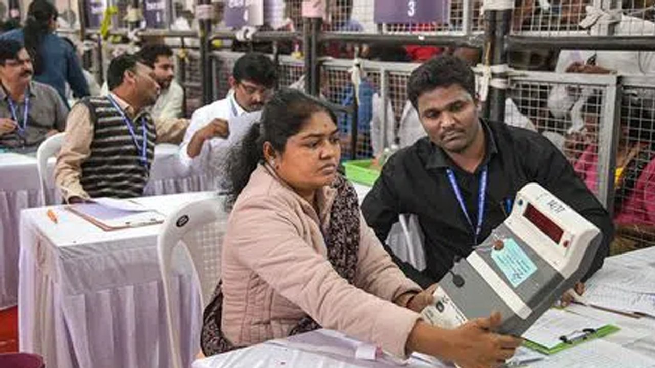
BJP-LED Alliance Ahead In Mumbai, Ajit Pawar-LED NCP Relegated In Pune
![BJP-LED Alliance Ahead In Mumbai, Ajit Pawar-LED NCP Relegated In Pune]()
Mumbai/Hyderabad, jan 16 (Maxim News) The BJP and ally Shiv Sena were ahead in high-stakes Mumbai municipal corporation elections as per trends in 210 of 227 wards, after counting of votes began Friday morning.
Heatwaves, late monsoon likely as El Nino impact intensifies
![Heatwaves, late monsoon likely as El Nino impact intensifies]()
Hyderabad, Jan. 16 (Maxim News): El Nino Summer patterns are expected to shape the coming months, with sharp contrasts between the first and second halves of the season.


Now you can get the latest stories from Indtoday on Telegram every day. Click the link to subscribe. Click to follow Indtoday’s Facebook page, Twitter, and Instagram. For all the latest Hyderabad News updates