

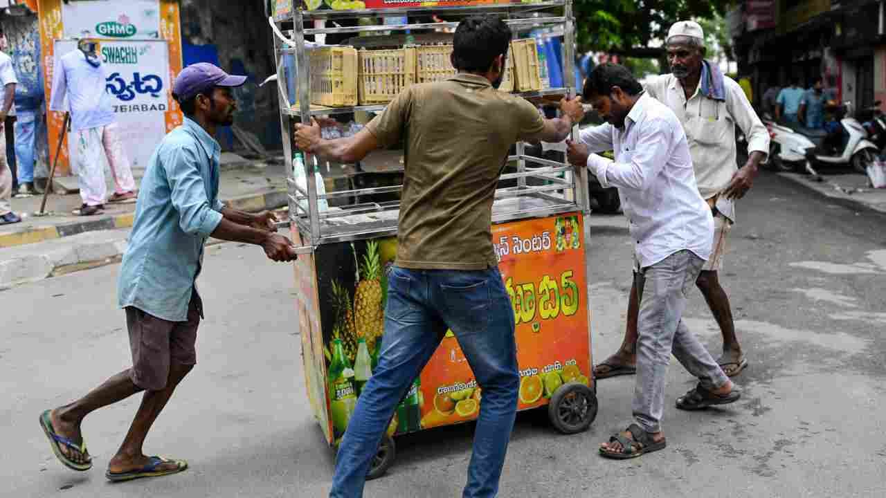
Hyderabad: In a much-needed respite from brutal heat, Telangana’s capital city is likely to see a partly cloudy sky with the possibility of rain or thunderstorm or duststorm on Monday, Met Centre Hyderabad said in a forecast. The rain activity is likely to continue this week.
The weather department has also forecast a partly cloudy sky with the possibility of the development of thunder and lightning from Tuesday and rain is likely to lash the city from June 17 onwards.
The city’s maximum and minimum temperature is likely to hover around 38-39 degrees Celsius, respectively. On Sunday, the highest temperature in Hyderabad was recorded at around 39 Celsius. Saroornagar was the warmest at 39.7 degrees Celsius.
Charminar, Khairtabad, Seri-Lingampalli, Kukatpally, and Secunderabad zones of Hyderabad city are expected to witness light to moderate rain or thundershowers towards evening or night over the next 5 days, an India Meteorological Department (IMD) forecast said.
End of Heat Wave in Telangana?
The IMD said the southwest Monsoon entered Andhra Pradesh on Sunday. The Monsoon is said to have been delayed due to Cyclone Biparjoy in the Arabian Sea. For the next three days, Telangana state will experience scattered rainfall after which rainfall will increase, forecasters said.
Officials also said that thunderstorms were occurring because of the heat wave and diurnal heating. The heat wave alert will end on Monday.
Though the weather was sweltering, mercury levels in the state dipped marginally on Sunday. Peddapalli recorded the highest temperature at 44.3 degrees Celsius while Hyderabad stayed under the 40 degrees Celsius mark for two Days in a row.
Next Story:
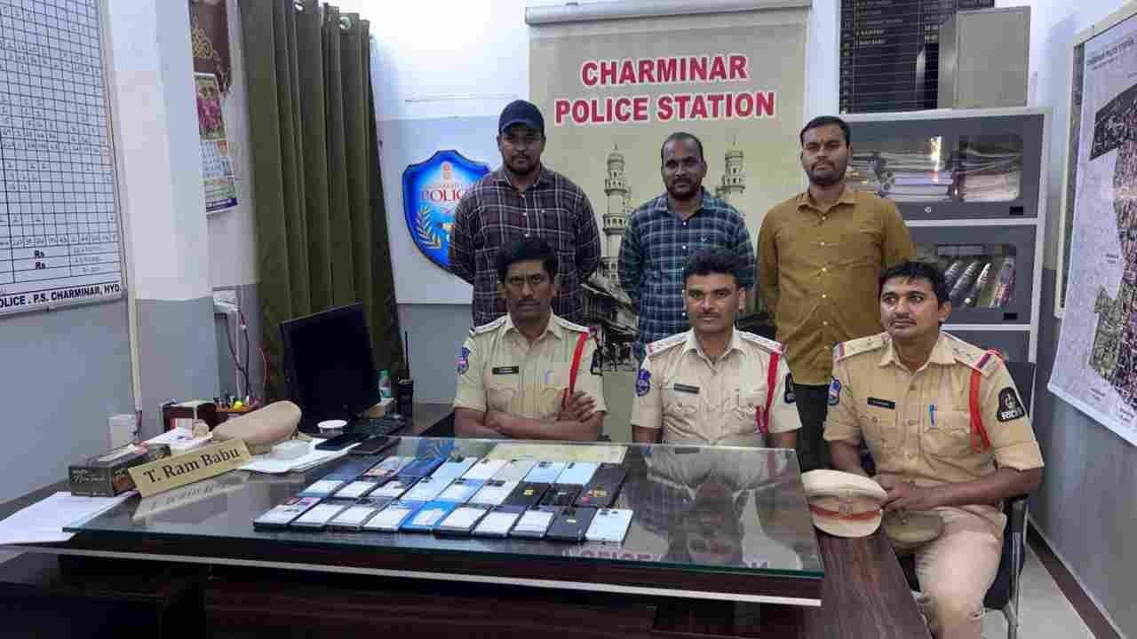
Charminar Police Recover 30 Lost Mobile Phones Via CEIR

Charminar Police recovered 30 lost mobile phones via CEIR portal; devices handed over to owners on 11 July 2026 in Hyderabad.
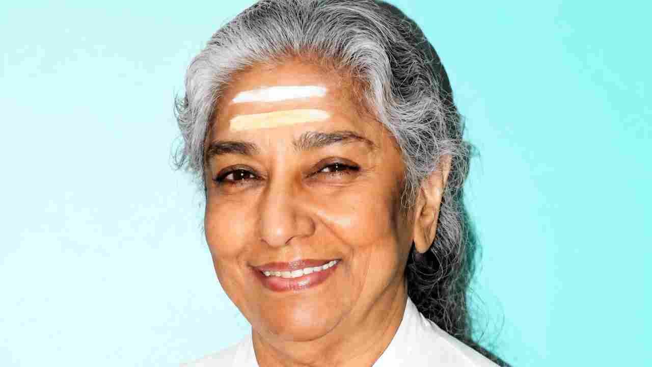
Veteran Playback Singer S Janaki Passes Away At 88
Veteran playback singer S Janaki died in Mysuru at 88; she recorded over 48,000 songs in 20 Indian languages across six decades.
Hyderabad Traffic Police Book 1,860 Cases In Week-Long Drive
Hyderabad Traffic Police booked 1,860 cases in a week long drive targeting unauthorised transport, overloading and illegal parking.
Hyderabad Student Found Dead In Helsinki Sea
Finnish police recovered the body of an 18 year old Hyderabad student near Kruunuvuorenranta; no crime suspected, investigation under way.
ECI Launches Online Facility For SIR Enumeration Form Submission
The Election Commission of India has launched an online facility for eligible voters to submit SIR Enumeration Forms through the Voter Services Portal using OTP authentication.

Now you can get the latest stories from Indtoday on Telegram every day. Click the link to subscribe. Click to follow Indtoday’s Facebook page and Twitter and Instagram. For all the latest Hyderabad News updates