


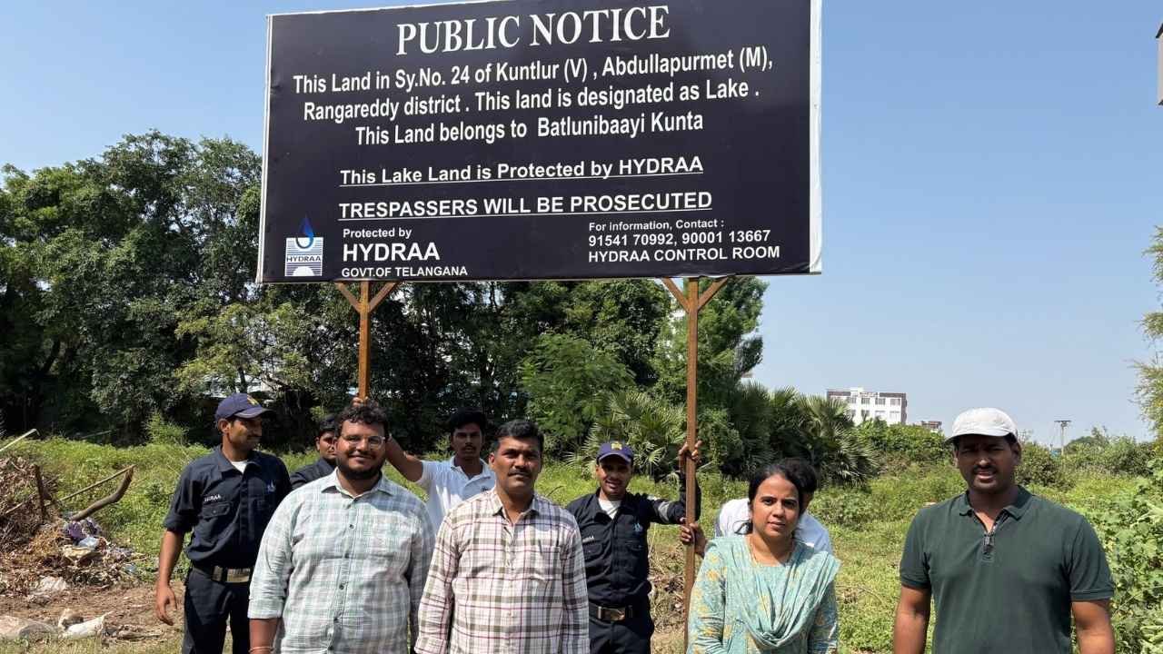
Hyderabad, Oct 9: HYDRAA has intensified efforts to protect lakes, ponds and government lands from alleged encroachments. Officials have focused on water bodies in Kuntloor village of Abdullapurmet mandal.
As part of these efforts, HYDRAA officials have erected fencing around Batloni Bavi Kunta in Kuntloor. The pond is located in Survey Number 24 and reportedly covers 84.21 acres in official records.
However, only one acre and nine guntas reportedly remain. The rest of the pond area is suspected to have been affected by encroachments. Officials are examining the original extent and the land allegedly occupied.
HYDRAA Examines Encroachments on Batloni Bavi Kunta
Residents have raised concerns over the shrinking water bodies in Kuntloor. They attribute the decline to expanding real estate activity and construction in the surrounding areas.
Ponds once helped store rainwater and replenish groundwater. However, encroachments have reportedly reduced their extent, raising concerns about their long-term survival.
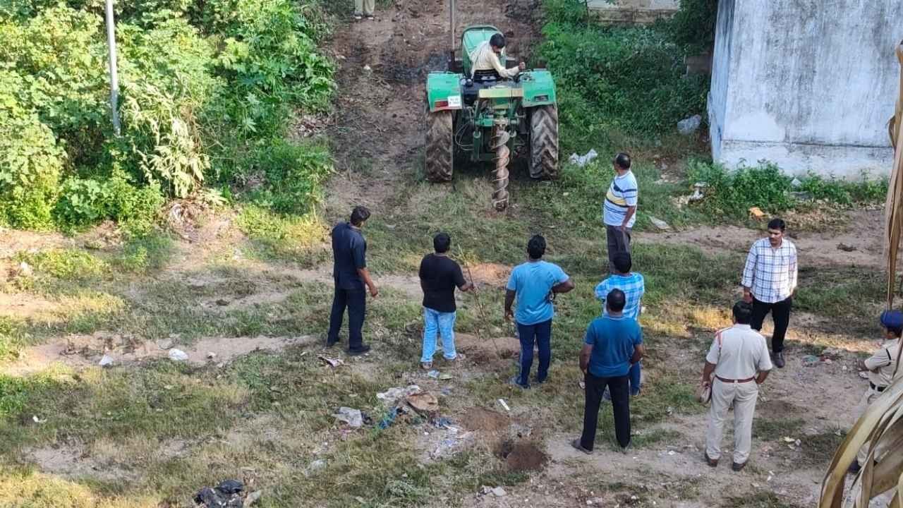
Several houses and commercial establishments have emerged around Batloni Bavi Kunta. Residents are awaiting further action from HYDRAA regarding the alleged encroachments.
HYDRAA | Survey and Historical Records Under Review
A comparison of historical records and the present ground situation could help establish the pond’s original boundaries. Revenue, Irrigation and HYDRAA officials may need to conduct a joint survey to determine the actual extent of encroachment.
Residents have also urged officials to identify and protect other water bodies in Kuntloor. They believe safeguarding these water resources could help reduce future flood risks and groundwater shortages.
Meanwhile, some residents have alleged discrepancies between the pond’s historical boundaries and those identified by officials. They have demanded a detailed inquiry if the current boundaries differ from the original map.
The findings of a comprehensive survey could clarify the pond’s original extent and the land currently remaining. Further action will depend on official records and the findings of the authorities.
Now you can get the latest stories from Indtoday on Telegram every day. Click the link to subscribe. Click to follow Indtoday’s Facebook page, Twitter, and Instagram. For all the latest Hyderabad News updates and Follow us on GoogleNews