

Hyderabad, May 22 (Maxim News): The Indian Meteorological Department (IMD) has revealed that there is a possibility of a low pressure forming the Bay of Bengal and turning into a cyclone by Friday. It is said that this low pressure formed in South West Central Bay of Bengal adjacent to North Tamil Nadu-south coast is moving towards northeast. It is expected to become a cyclonic system over the Central Bay of Bengal by Friday morning. It will become a storm by today evening.
Click Here To Join Us On WhatsApp
Telangana is likely to experience light or heavy rains at isolated places for three days, according to the Meteorological department, it is said that there will be an effect of rains on the north-eastern districts. There will be rains with a speed of 30 to 40 kilometers per hour accompanied by thunder, lightning and gusty winds.
Meteorological Department said that there is a possibility of scattered rain in Adilabad, Komaram Bheem Asifabad, Manchiryala, Nirmal, Nizamabad, jagtial, Rajanna Sirsilla, Jayashankar Bhupalpally, Mulugu, Bhadradri Kothagudem and Khammam districts of Telangana today. Tomorrow light to heavy rains are expected in Jayashankar Bhupalpally, Mulugu, Bhadradri Kothagudem, Khammam, Rangarewddy, Hyderabad, medchal Malkajgiri, Vikarabad, Sangareddy, medak, kamareddy, Mahabubnagar districts.
Click Here To Join Us On WhatsApp
Meanwhile, the Southwest Monsoon has already hit the South Andaman Sea and its surroundings. With the impact of the latest typhoon, it will spread to more areas in the Arabian Sea, Maldives and Comarin, it is likely to hit the Kerala coast by May 30. (Maxim News)
More Stories :
BJP MP Laxman Slams Revanth Reddy Over Muslim Remarks

Revanth Reddy Muslim remarks triggered sharp criticism from BJP MP K Laxman in Telangana politics.
Royal Enfield Becomes World’s Third Strongest Auto Brand
Royal Enfield global ranking rose to third strongest automotive brand worldwide in the Brand Finance 2026 report.
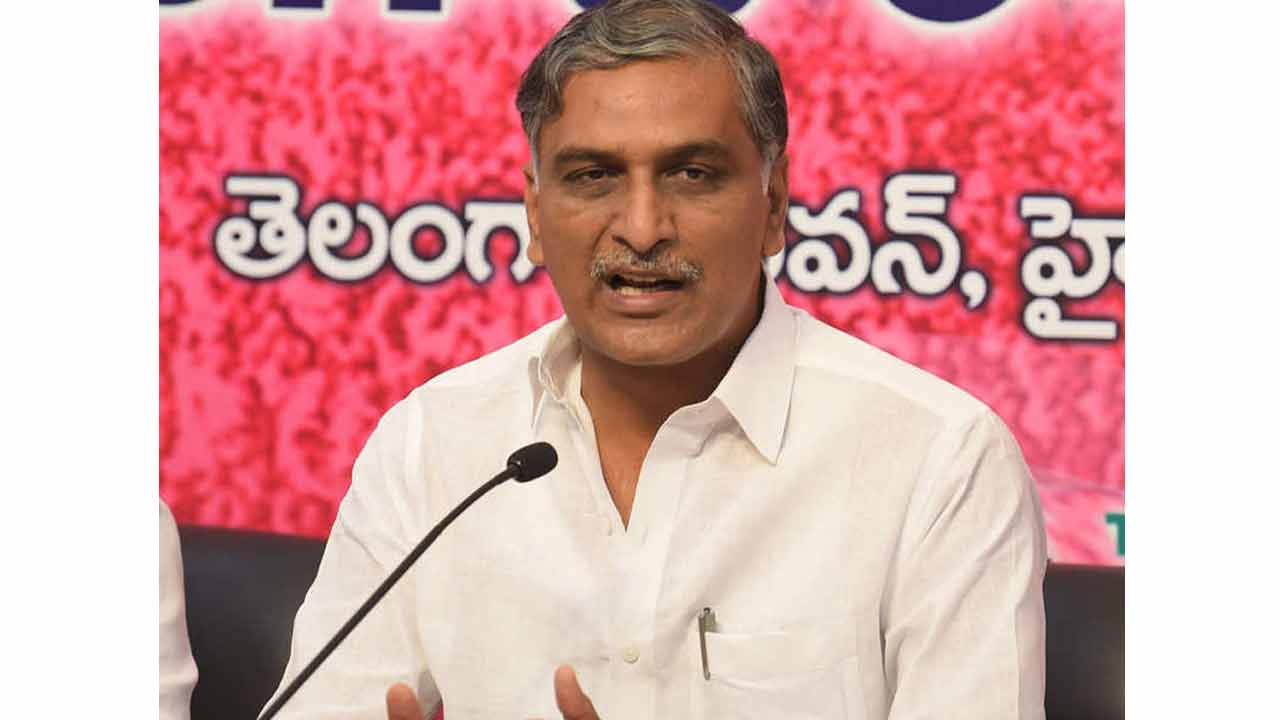
Harish Rao Slams Telangana Law And Order Situation
Harish Rao criticised the Telangana law and order situation and raised concerns over crime and women’s safety in Hyderabad.
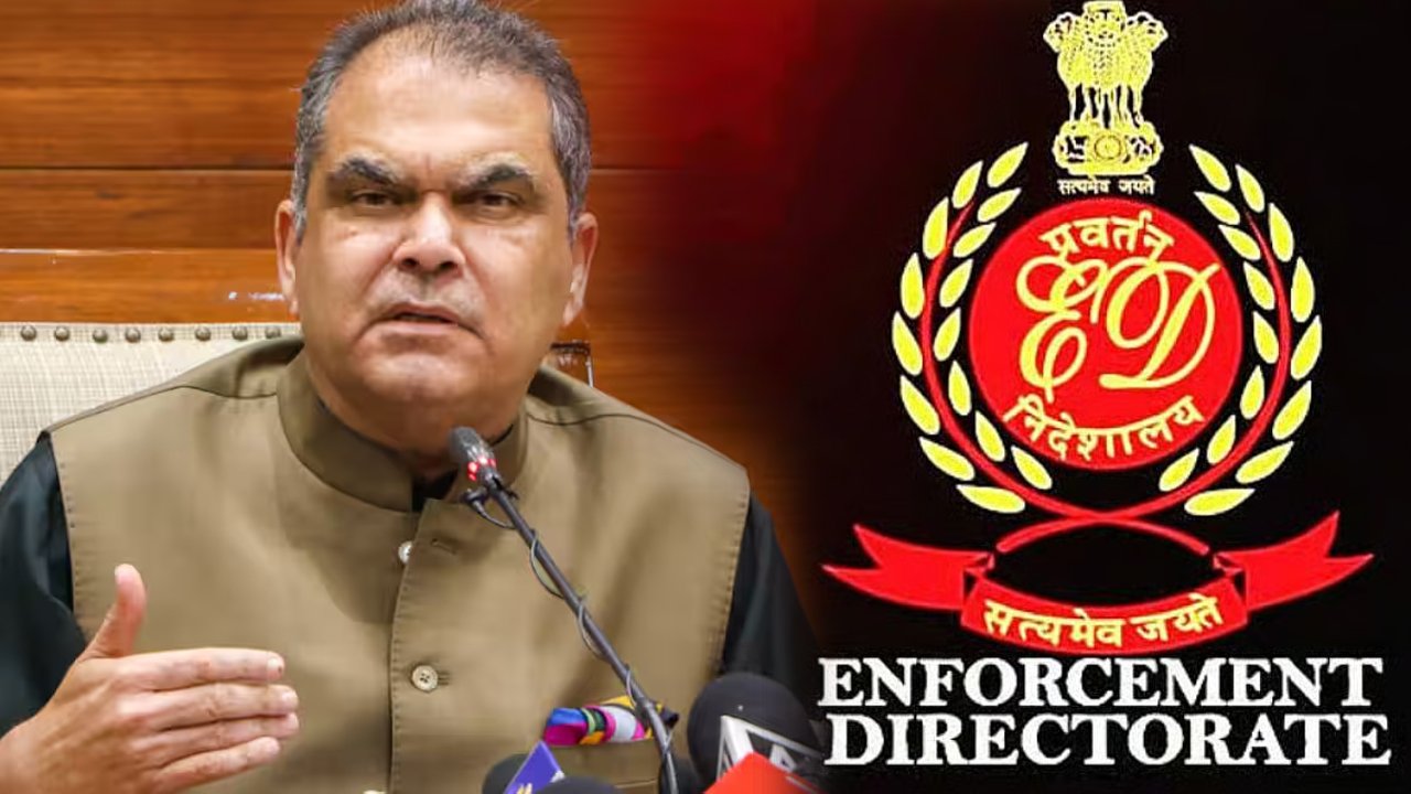
ED Arrests Minister Sanjeev Arora
Chandigarh/Hyderabad, May 9 (Maxim News): The ED today conducted searches at the residence of Punjab Industries and Power Minister Sanjeev Arora. After that, ED officials took Sanjeev Arora into custody. He was arrested at his residence in Sector 2, Chandigarh. Searches were also conducted at the offices of Hampton Sky Realty Limited in Delhi, Gurugram,…


Now you can get the latest stories from Indtoday on Telegram every day. Click the link to subscribe. Click to follow Indtoday’s Facebook page, Twitter and Instagram. For all the latest Hyderabad News updates